
 EN
EN
 ar
ar bg
bg hr
hr cs
cs da
da nl
nl fi
fi fr
fr de
de el
el hi
hi it
it ko
ko no
no pl
pl pt
pt ro
ro ru
ru es
es sv
sv tl
tl iw
iw id
id lv
lv lt
lt sr
sr sk
sk sl
sl uk
uk vi
vi et
et hu
hu th
th tr
tr fa
fa ms
ms hy
hy ka
ka ur
ur bn
bn mn
mn ta
ta kk
kk uz
uz ku
ku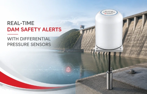
Real-Time Dam Safety Alerts with Differential Pressure Water Level Sensors
Key Takeaways An alert chain needs more than a sensor: define field in...

Integrated GNSS: Real-World Monitoring Without the Noise
A slow-moving landslide can shift just millimeters a day, but catch those movements early and you prevent a disaster. The trick is teasing those tiny signals out of real-world noise—satellite orbit errors, atmospheric delays, multipath from nearby cliffs. That’s where integrated GNSS comes in. By combining a high-grade GNSS board, antenna, and processing unit in one rugged enclosure, these receivers don’t just collect raw data; they calculate precise positions onboard, filter out disturbances, and send clean displacement values straight to your dashboard. Kingmach has put this technology into practice across dozens of long-term monitoring sites, from deep excavations to aging dam crests. We’ve learned that reliability under harsh conditions matters more than lab specs. Our integrated units are built for that: low power draw, automated data handling, and a housing that shrugs off rain, dust, and temperature swings. Whether you’re tracking a creeping slope or a bridge pier settling, the goal is the same—reliable numbers, months at a time, without constant tuning.
Technical Detail
Kingmach’s integrated GNSS receivers are designed to simplify deformation monitoring by doing the heavy lifting inside the unit. Instead of streaming raw observations back to a server for post-processing, each receiver runs real-time kinematic (RTK) or static algorithms on board. The unit then outputs displacement measurements relative to a stable reference station, leaving you with actionable data instead of gigabytes of logs. Under the hood, the receivers track multiple constellations—GPS, GLONASS, BeiDou, Galileo—so they lock onto more satellites in obstructed environments like mountain valleys or urban canyons. A typical installation pairs one base station with several rovers, forming a local baseline network that cancels out common errors. While open-sky accuracy often reaches centimeter level, even degraded sky views can yield useful results once filtering parameters are tuned to the site. We focus on practical details that matter for long-term projects. The aluminum housings are IP67 rated, and the internal memory buffers data during communication gaps, so no events go missing. Power consumption is kept low enough that a small solar panel and battery can keep a station running unattended for weeks. Connections are straightforward—just a single cable for power and RS485/Ethernet, or a 4G modem added for remote access. Applications range from open-pit mine wall monitoring to highway cut slopes and heritage structure conservation. In each case, the goal is the same: pick up anomalous movement early, before it turns into a costly failure. Kingmach provides not just the hardware but the installation guidance and parameter fine-tuning to get the most out of the system at your site.
News
Key Takeaways An alert chain needs more than a sensor: define field in...
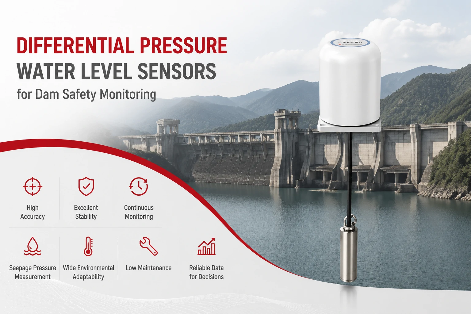
Key Takeaways The strongest fit is usually a confined, submerged, or s...
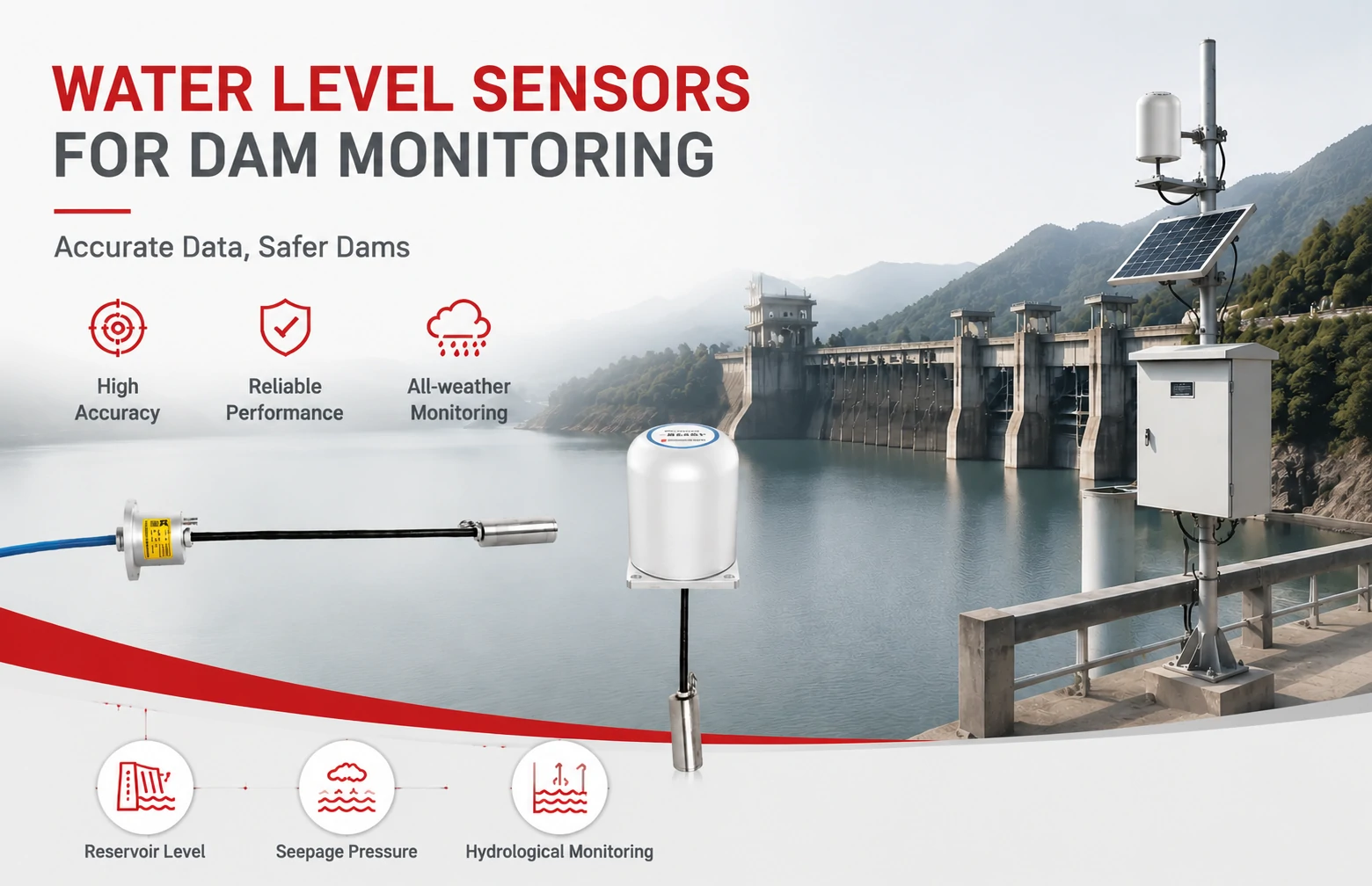
Kingmach Water Level Sensors for Dam Monitoring: A Buyer's Guide to Differential Pre...
Products

Smart Single-Point Bedrock Displacement Meter JMDL-32XXAT
View Details
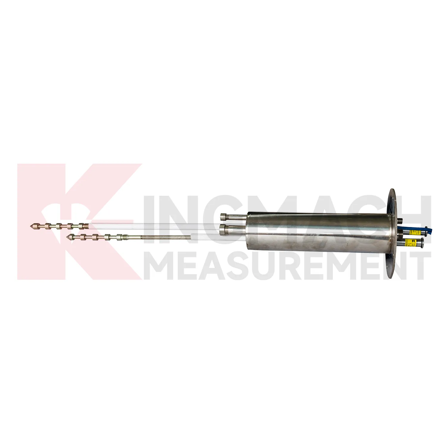
Smart Multipoint Displacement Meter JMDL-31XXAT
View DetailsFAQ
The main difference is that an integrated unit runs positioning engines and data management inside the same box. A standard survey receiver usually outputs raw measurements that need external software to turn into coordinates. Our integrated units compute RTK or static solutions onboard and output displacement directly to your monitoring software, which cuts down on data transmission load and speeds up alerting.
In heavily obstructed sky conditions, any GNSS struggles because satellite signals get blocked or reflected. But multi-constellation support helps—more satellites mean a better chance of retaining a fix. In practice, we often set up a local base station within a few kilometers, which removes most atmospheric and orbital errors. With careful antenna placement and mask angle settings, we’ve gotten useful daily results in moderately constrained gullies. For dense canopy, it’s still a challenge, and we often complement GNSS with geotechnical sensors.
There’s no hard limit in our firmware; it depends on your communication bandwidth and the update rate you need. For slow-moving geotechnical deformation, one base can easily serve 10 to 20 rovers uploading data every few minutes over radio or cellular. We’ve deployed networks of 30+ units in large open-pit mines with no issues, as long as the base antenna has a clear view of the sky and the communication infrastructure is solid.
Once installed and configured, the hardware is largely hands-off. We recommend checking the antenna for debris or bird droppings every few months, and verifying cabling after severe storms. The units have internal health monitoring—voltage, temperature, data throughput—that can flag anomalies remotely. Firmware updates can be pushed over the air if you have a 4G connection. In temperate climates, we’ve had stations running for two years without physical intervention.
It’s not always about replacement; often they complement each other. GNSS gives you absolute displacement in a global reference frame, which is great for catching large-scale movement across a site. Inclinometers or crack meters provide relative deformation at specific points. For a slope, you might install a few GNSS rovers on the surface to detect overall creep, and use in-place inclinometers to see where the failure plane is forming. Many of our clients combine both for a complete picture.
Share your product type, target capacity, and application requirements. Our team can review the details and recommend a practical next step.
If you are interested in our products or want to become our partner.
Please leave your contact information, our team will contact you as soon as possible.
Mail: [email protected]
Contact Us: +8613808434127
Address: No. 188 Tongzipo West Rd, Changsha, Hunan, China